
Landmark Spatial Solutions LLC
At a glance
EmployeesNot reported
In business sinceNot reported
HeadquartersStarkville, MS
SAM.gov UEIUNKRM42XHWL5
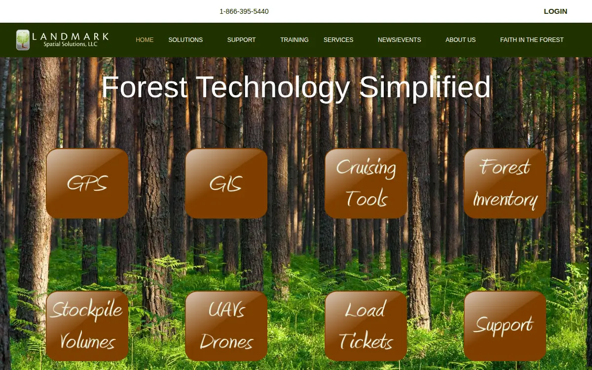
LandMark Spatial Solutions provides GPS data collection software, GIS software, and forest inventory solutions including cruising tools, drones and UAVs, laser offsets, and log scaling tools. The company serves the forestry industry and offers geospatial consulting, forest inventory consulting, drone mapping, and stockpile measurements as services.
Summarized from the company’s own website
Their plant
| Facility | City | State | Employees | Status |
|---|---|---|---|---|
| Landmark Spatial Solutions LLC | Starkville | MS | — | ACTIVE |
Compiled from federal records — EPA, OSHA, SAM.gov and the U.S. Census — and from the company’s own website. Federal source data is public domain. Each plant’s page names the source of every field.