
ACTIVELAST SEEN IN FEDERAL DATA OCT 2026 · 2 SOURCES
Operating signal within 12 months from two or more independent sources.
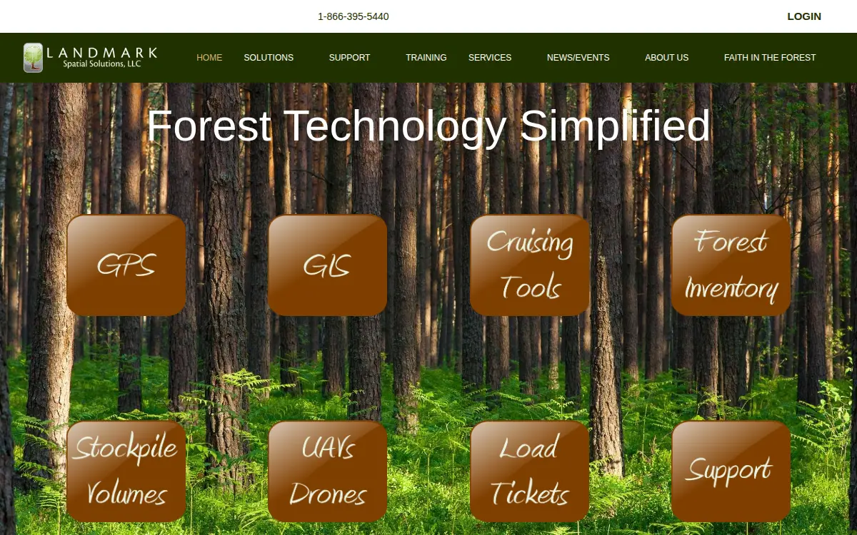
Their homepage, crawled JUL 2026
What they make
Radio and Television Broadcasting and Wireless Communications Equipment Manufacturing334220- GPS data collection
- GIS software
- forest inventory consulting
- drone mapping
- tools
- stockpile measurements
- load ticketing
NAMED ON THE COMPANY’S OWN WEBSITE, READ JUL 29, 2026
Where it is
33.53477, -88.94938 · CENSUS TIGER
Other plants nearby
| Facility | City | Industry | Status | Distance |
|---|---|---|---|---|
| Airbus U.s. Space & Defense, INC. | Columbus | Aircraft Manufacturing 336411 | ACTIVE | 35.1 KM |

Also at this address
No other federal record shares this street address.
Where this record comes from
2 sources hold this plant, and 8 fields on this page come from them. Each line is one agency’s own record of it: the identifier it is filed under, whether that record shows the plant operating or only that it exists, and when the register first and last saw it there.
- The company’s own websiteOPERATINGfirst seen JUL 2026 · last seen OCT 2026
- SAM.gov entity registrationOPERATINGRecord UNKRM42XHWL5 · first seen MAR 2026 · last seen OCT 2026
What each source says
Every field below, as each source filed it. The value this page shows is marked; where the sources disagree, the field says so. Status is computed from independent sources; nothing here is self-reported unless marked Claimed.
- Name
- SAM.gov: LANDMARK SPATIAL SOLUTIONS LLC
- Street address
- SAM.gov: 4635 COUNTY LAKE RD
- City
- SAM.gov: STARKVILLE
- State
- SAM.gov: MS
- Coordinates
- Census geocoder: 33.5347738006,-88.949384819751 · JUL 2026
- Website
- SAM.gov: https://landmarkspatialsolutions.com/
- CAGE code
- SAM.gov: 5QAH0
- SAM registration expires
- SAM.gov: 2027-03-18